CEMEX have submitted revised plans to Surrey County Council for the extraction of gravel at Watersplash Farm. (Planning reference: SCC Ref:2012/0173).
The application was originally submitted in 2012 but the plans have been amended and updated on various occasions with further updates in 2018. The updated plans are now due to go before Surrey County council planning meeting on 23rd January.
Mineral extraction within the Green Belt is considered acceptable since the works are classed as temporary. The works are estimated to take six years, but subject to “market conditions” and so can be easily extended. It is also important to remember that the effects of contaminated soil and damage to the flood plain will be permanent.
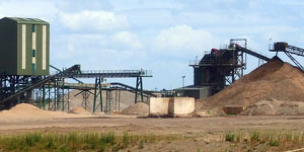
CEMEX will extract the gravel and back fill with inert waste comprising largely clay and landfill. A high percentage of their revenues will come from the inert landfill waste which can come from any source.
How can we be sure that contaminated soil will not find its way into the infill material? Independent and random checks need to be made to ensure that landfill is not contaminated. The plans make no provision for this.
Watersplash farm lies in an already high flood risk area, replacing the permeable gravel with an impervious clay bung of some 23 hectares in area will affect subsurface drainage. The mitigation proposed by CEMEX to alleviate increased risk of flooding is to introduce “swales” which are open drainage channels round the perimeter of the works to absorb and slow down the displaced groundwater/floodwater.
The Environment Agency are not responsible for land based surface water flooding, which is the responsibility of the council who are themselves dependent almost entirely on the accuracy of the risk assessments submitted by CEMEX. So how can we be sure that these swales will cope with flooding as experienced in 2014 and that they will be maintained once works are completed or if CEMEX sell the site?
Furthermore, the traffic report, submitted in 2018 uses predicted data based on a survey conducted in 2009 and its conclusions are an estimate largely based on the 2009 data. The report predicts delays during peak times at the Green lane/Gaston Bridge roundabout junction of between 11 and 43 seconds and que length of 18 and 88 metres and at Walton bridge road delays of 89 seconds and queue lengths of 226 metres (source SCCRef 2012-0173_planning_Addendum TA No3.pdf Transport update, 2018).
Anyone using these roads in peak times will know that in no way does this report resemble the reality of the delays at these junctions. A new independent measured survey should be carried out, not based on estimates.
The traffic report further concludes as a result of the additional 200 large lorry movements in and out of site per day, “The impact upon the surrounding highway network… will probably not be discernible and will have no material impact upon its operation”.
If this is the quality of the data being presented to the council how can the accuracy of the rest of the report be trusted, in particular the flood risk assessments?
Most of the public will be unaware of the damaging impact this development will have on our community. Why has there not been a further public consultation since its publication in 2012?
If you feel that the data upon which this application is being made is out of date, misleading and leaves serious questions unanswered then write to the council and insist that this application is refused.
Comments can be made in writing quoting reference 2012/0173 to:
The Planning Development team
County Hall
Penrhyn Road
Kingston upon Thames
Surrey
KT1 2DW
or by email using address: mwcd@surreycc.gov.uk
The plans are available from the SCC web site at http://planning.surreycc.gov.uk/planappsearch.aspx
There are also instructions on the web site describing how to register comments.
You can submit comments up until the meeting date, but as soon as you can since late comments cannot be guaranteed to be considered.